In today’s world, where environmental concerns are becoming increasingly prominent, the quality of the air we breathe has garnered significant attention. One of the most valuable tools available to monitor and understand air pollution is the air quality map.
These maps provide detailed information about air pollution levels in specific areas, utilizing data collected from numerous sensors. This comprehensive data collection allows individuals, companies, and governments to take proactive measures to ensure cleaner air and better health outcomes.
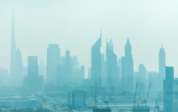
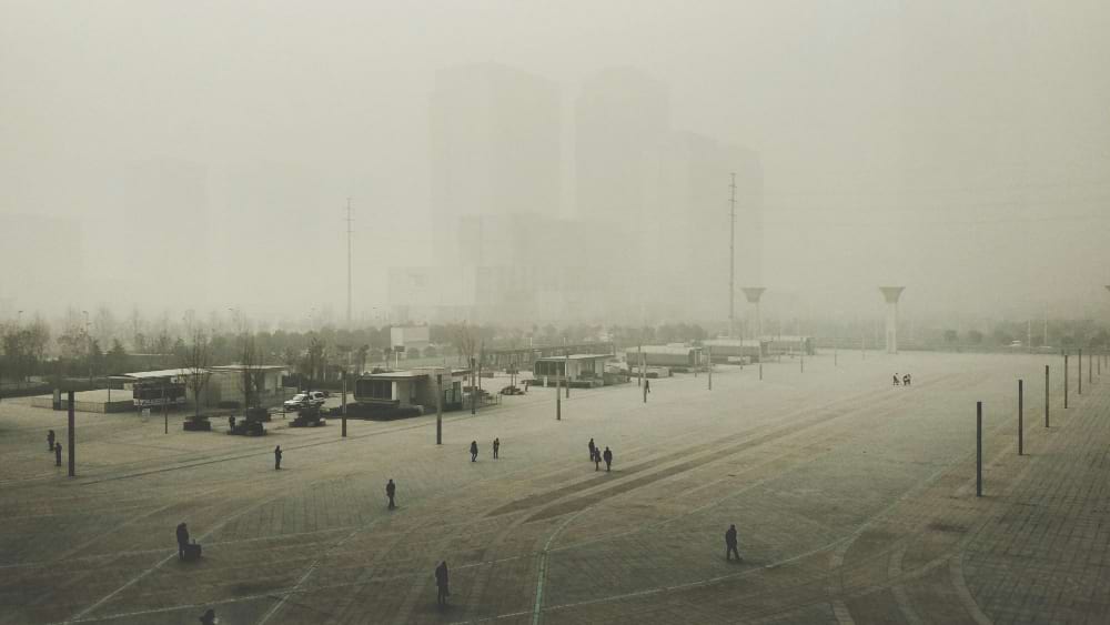
The threat of smog and air pollution
Air pollution is a pressing global issue, and one of its most dangerous manifestations is smog. Smog is a mixture of various pollutants, including particulate matter (PM2.5 and PM10), nitrogen oxides (NOx), sulfur dioxide (SO2), carbon monoxide (CO), and volatile organic compounds (VOCs). These substances can pose severe health risks, especially to vulnerable populations such as children, the elderly, and those with pre-existing health conditions.
Prolonged exposure to smog can lead to respiratory problems, cardiovascular diseases, and even premature death. The World Health Organization (WHO) estimates that millions of people die each year due to complications arising from air pollution. Hence, understanding and mitigating the effects of smog is crucial for public health.

How air quality maps work
Air quality maps are created using data from a network of sensors placed in various locations. These sensors continuously monitor the concentration of different pollutants in the air. The data collected is then processed and displayed in an accessible format, often color-coded to indicate the severity of pollution levels.
For example, green areas on the map typically represent good air quality, while yellow, orange, red, and purple indicate progressively worse levels of pollution. This visual representation helps users quickly assess the air quality in their area or any area of interest.
Benefits of using air quality maps
Individual awareness and safety
For individuals, air quality maps are an essential tool for daily planning. They can check the air quality in their vicinity before engaging in outdoor activities, ensuring they avoid areas with high pollution levels. This is particularly important for those with respiratory issues or other health conditions that can be exacerbated by poor air quality.
Corporate use and environmental responsibility
Companies also benefit significantly from air quality maps. Industries that are potential sources of pollution can use these maps to monitor their impact on the environment. By doing so, they can implement measures to reduce emissions and comply with environmental regulations. Moreover, companies that are environmentally conscious can use air quality data to select locations for their operations that are less likely to contribute to air pollution, thereby minimizing their ecological footprint.
Government and municipal planning
Municipalities and governments use air quality maps to develop comprehensive plans to combat air pollution. By analyzing the data, they can identify pollution hotspots and implement targeted measures to reduce emissions in these areas. This could involve introducing stricter regulations on vehicle emissions, promoting public transportation, or investing in green infrastructure.
Governments can also use air quality data to inform the public about pollution levels and health advisories. During periods of high pollution, they can issue warnings and recommend actions such as staying indoors or wearing masks. Long-term data analysis helps in shaping policies aimed at improving overall air quality.
Technological advances and future prospects
The technology behind air quality maps continues to evolve. Advances in sensor technology, data analytics, and artificial intelligence are making these maps more accurate and reliable. The integration of satellite data provides a broader view of air pollution, complementing ground-based sensors.
Furthermore, the development of mobile apps has made air quality information more accessible to the general public. Real-time updates and notifications can help individuals make informed decisions about their activities, thereby reducing their exposure to harmful pollutants.
Air quality maps are an invaluable resource in the fight against air pollution. By providing real-time, localized data on air quality, they empower individuals, companies, and governments to take informed actions to protect public health and the environment. As technology continues to advance, these maps will become even more sophisticated, offering deeper
nsights and more effective tools for combating air pollution. By leveraging the power of air quality map, we can work towards a future with cleaner air and healthier communities.
Author Profile

Latest entries
 TourismMarch 27, 2026The Operatic Soul within the Private Sanctuary
 Health & BeautyMarch 9, 202624 Inch Hair Extensions: How to Achieve Red-Carpet Length and Volume
 Health & BeautyFebruary 16, 2026The “Quiet Luxury” Hair Guide: How to Achieve Seamless Volume with Luxe Hair Extensions
 Health & BeautyFebruary 9, 2026What Does a Medical Scribe Actually Do? A Comprehensive Guide to Responsibilities and Skills